


Showing 2 results
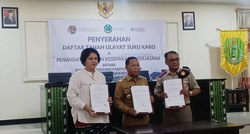
Suku Karo’s Ulayat Land Officially Registered, Becomes Indonesia’s First Participatory Land Administration Process
BAJAWA, KUPANGNEWS.COM — Marking a historic milestone, the Government of Ngada Regency, in partnership with the Ngada Land Office and Landesa Indonesia, formally recognized the Karo Indigenous Community’s customary land—the first such registration in Indonesia’s national land system through a participatory, community-led process.

Grassroots participation is the key to closing the data and gender gaps
This blog originally appeared on Women Deliver. By Beth Roberts The Sustainable Development Goals (SDGs) represent unprecedented and increasing global recognition of land rights—especially women’s land rights. Leaders across the globe have included three land-specific sex-disaggregated indicators: This transformative development acknowledges the need for better data on women’s land rights, and the need to
